Cape Flattery: trail, Makah permit & a day-trip plan
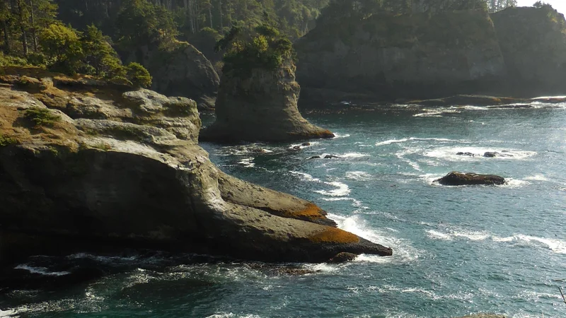
Forest boardwalks lead to cliffs, Pacific water and views toward Tatoosh Island. Give Cape Flattery and Neah Bay a day of their own.
Route, parking and permit
Drive west on SR 112 toward Neah Bay, then follow Cape Flattery Road to the trailhead. The journey is roughly 78 miles from Port Angeles; allow 2–2.5 hours before stops and use current road notices for detours. Parking and restrooms are at the trailhead, with day use only.
Buy the Makah Recreation Permit before the walk: $20 per vehicle for the calendar year. Purchase online or at a listed local outlet such as Makah Mini Mart or the museum. Print the online permit for display; rental-car instructions allow the plate to be added before arrival.
The Makah trail information lists 0.75 miles each way, with stairs, boardwalk and roughly 200 feet of descent. Save energy for the climb back. Combine the walk with Neah Bay and put Hoh Rain Forest on a separate day.
Cape Flattery is on Makah land
Cape Flattery lies on the Makah Reservation near Neah Bay. The Makah Tribe manages the trail and viewpoints, and the tribal recreation permit covers this visit. An Olympic park pass covers a different area.
Follow Makah visitor guidance and use the designated trail and observation areas. A Neah Bay stop adds context to the landscape and the community welcoming visitors.
The walk: short distance, a climb on the return
The path moves from forest dirt to stairs and boardwalk, then opens at the coastal viewpoints. Wet boards are slippery, and the return climbs back toward the parking area.
Allow one to two hours for walking and time at the viewpoints. That leaves room to enjoy the outlook before the uphill return.
The view: coast and Tatoosh Island
The observation areas look across rugged cliffs and Pacific water toward Tatoosh Island. The change from enclosed forest to open coast is the highlight of the walk.
Bring binoculars for a closer view of the water and any wildlife. Stay on the designated platforms to enjoy the outlook safely.
Make Neah Bay part of the journey
Add a meal and time in Neah Bay to the day. The Makah Cultural and Research Center adds cultural context; use its visiting calendar to fit the museum around the trail.
For more time in the far northwest, stay in the region. For a single excursion from Port Angeles, keep Cape Flattery and Neah Bay as the day’s focus.
Choose a base for the wider trip
Port Angeles is a useful base for northern park days with one dedicated Cape Flattery excursion. On a wider western route, choose the overnight around your next destination.
Our hotel-area guide covers those regions. The selected local park tours visit other Olympic highlights; plan Cape Flattery as its own outing.
Give the western peninsula its own time.
Compare a Port Angeles base with a western overnight before choosing rooms for the coast.
Useful answers.
Does an America the Beautiful pass cover Cape Flattery?
No. Cape Flattery is on the Makah Reservation and requires the tribal recreation permit described by the Makah Tribe.
How far is the walk?
About 0.75 miles each way. The return includes the climb back from the coastal viewpoints.
Do the selected Port Angeles park tours include Cape Flattery?
No. The selected itineraries cover other Olympic destinations. Cape Flattery needs its own outing.
More places to explore.
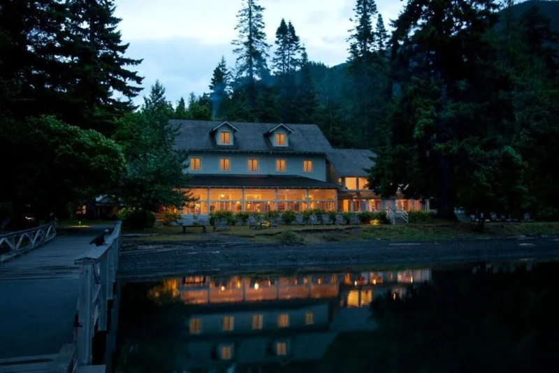
Where to stay for Olympic National Park
Find where to stay for Olympic National Park: Port Angeles, Lake Crescent, Forks, Kalaloch, Quinault or Sol Duc, matched to each part of your route.
Explore the guide →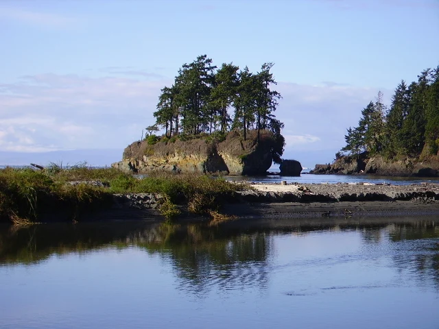
Salt Creek Recreation Area
Explore Salt Creek near Port Angeles: Tongue Point tidepools, woodland walks and Camp Hayden. Plan a coastal afternoon and find a convenient hotel base.
Explore the guide →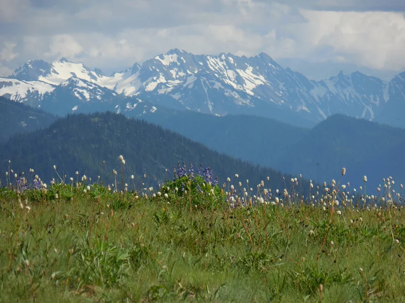
Olympic National Park itinerary
Plan 2, 3 or 4 days in Olympic National Park: mountains, Lake Crescent, rainforest and coast, with Port Angeles and Forks overnights and guided options.
Explore the guide →